Udine, Italy
Alberto De Luca
Geographical Information Systems specialist
See what I doSolutions
More than 20 years turning spatial data into decisions.
WebGIS platforms
Spatial data locked in desktop files or spreadsheets, unusable by the people who need it in the field or in meetings.
Design and development of web GIS applications and spatially-aware systems that put maps, layers, and analysis in front of the right people.
View related projectsSpatial data engineering
Data coming from different sources, formats, and surveys that doesn't line up, validate, or scale.
Design and implementation of PostgreSQL/PostGIS databases, plus validation and homogenization of spatial data from heterogeneous sources.
View related projectsLidar & terrain analysis
Raw point clouds that need to become usable terrain models and morphometric indicators.
Processing of lidar data into DTMs and DSMs, and morphometric analysis for forestry, hydrology, and landscape applications.
View related projectsQGIS plugin development
A workflow that QGIS doesn't support out of the box, repeated by hand every time.
Development of Python plugins for QGIS, from hydraulic network editing to flood and discharge simulation tools.
View related projectsTechnologies
The tools I build with every day.
- PostgreSQL
- PostGIS
- Java
- Spring Boot
- GeoServer
- React
- OpenLayers
- Python
Projects
A selection of things I've built and analyses I've run.
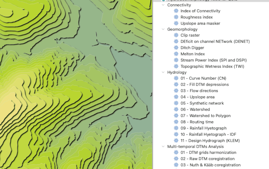
HydroGeomorphology Tools for QGIS
QGIS plugin
RainMap FVG
Hydrological analysis API
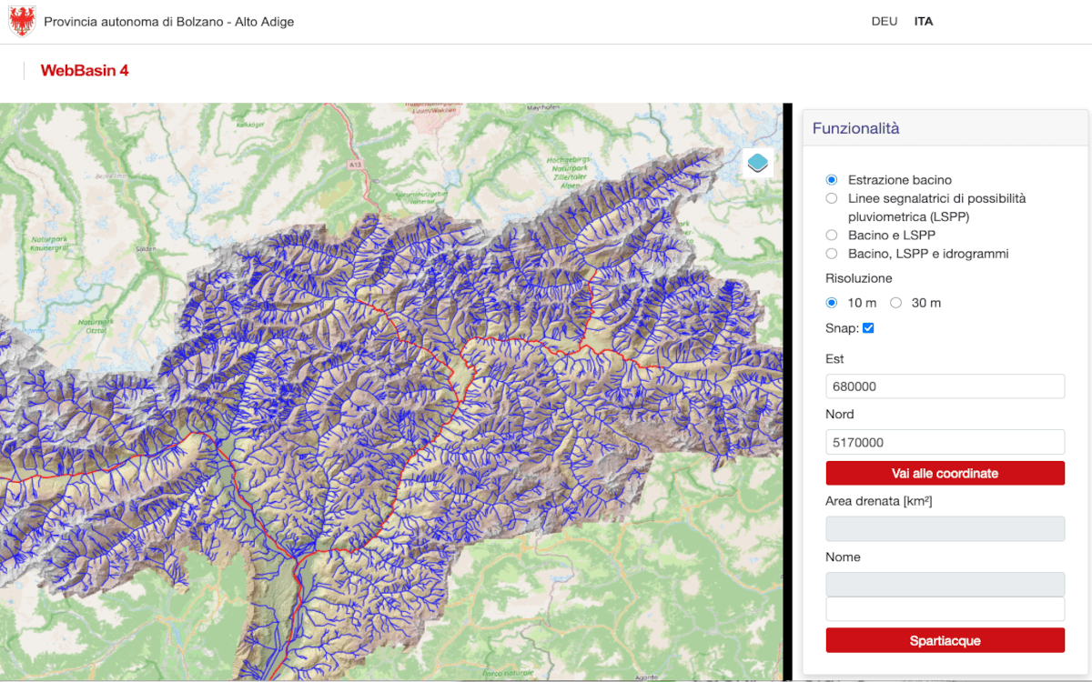
WebBasin
Hydological Anaylisi web app
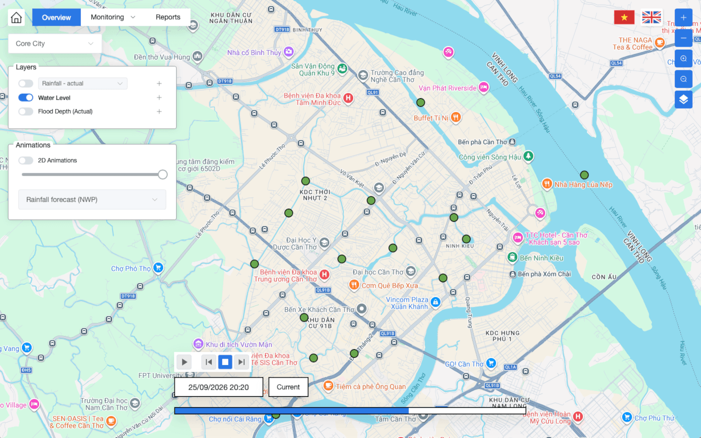
FRMIS
Flood Risk Management Information System
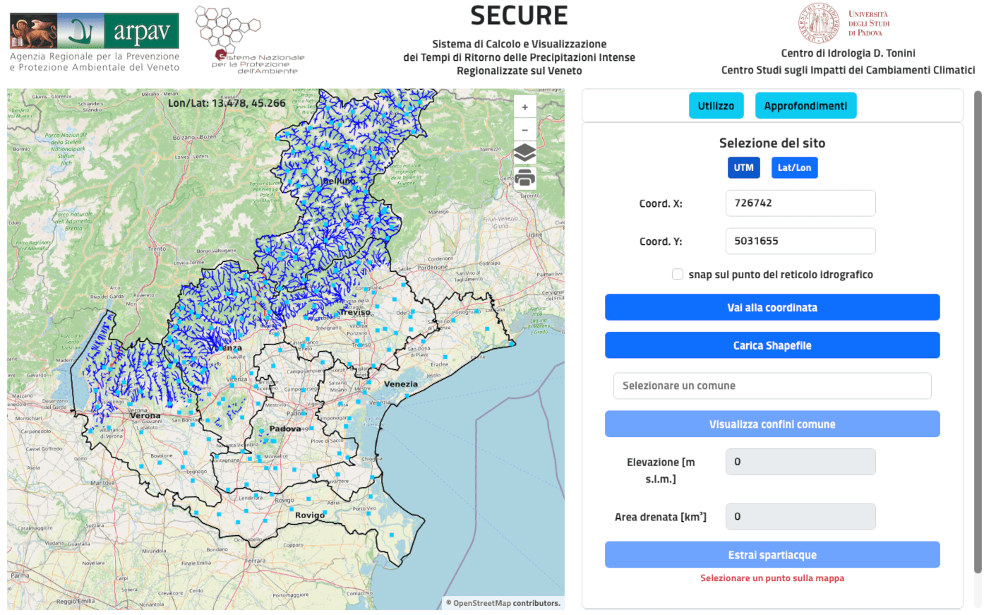
SECURE
Web system for extreme rainfall analysis
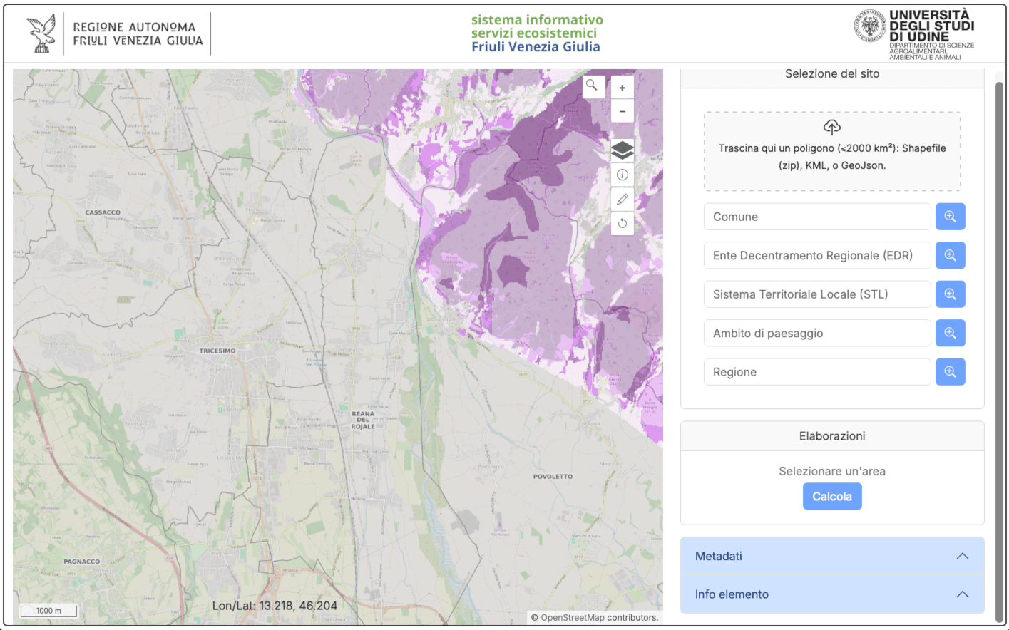
Servizi Ecosistemici FVG
Ecosystem services WebGIS
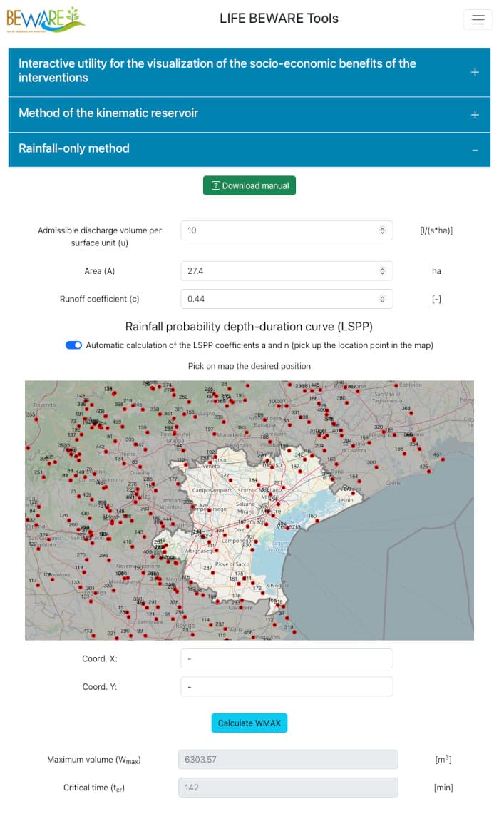
LIFE BEWARE
Web GIS
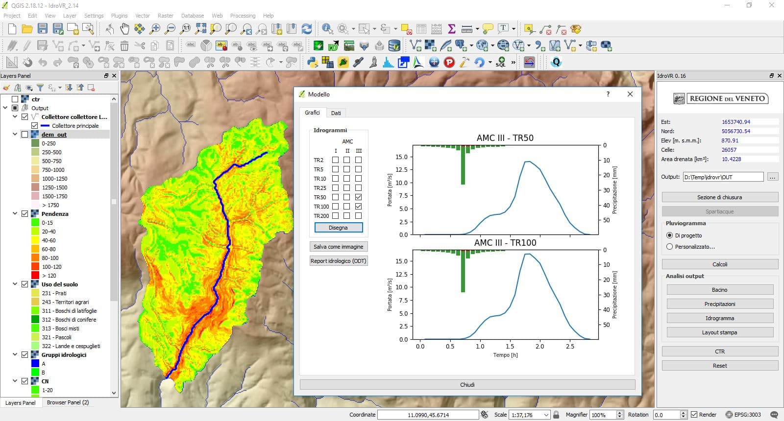
IdroVR
QGIS plugin
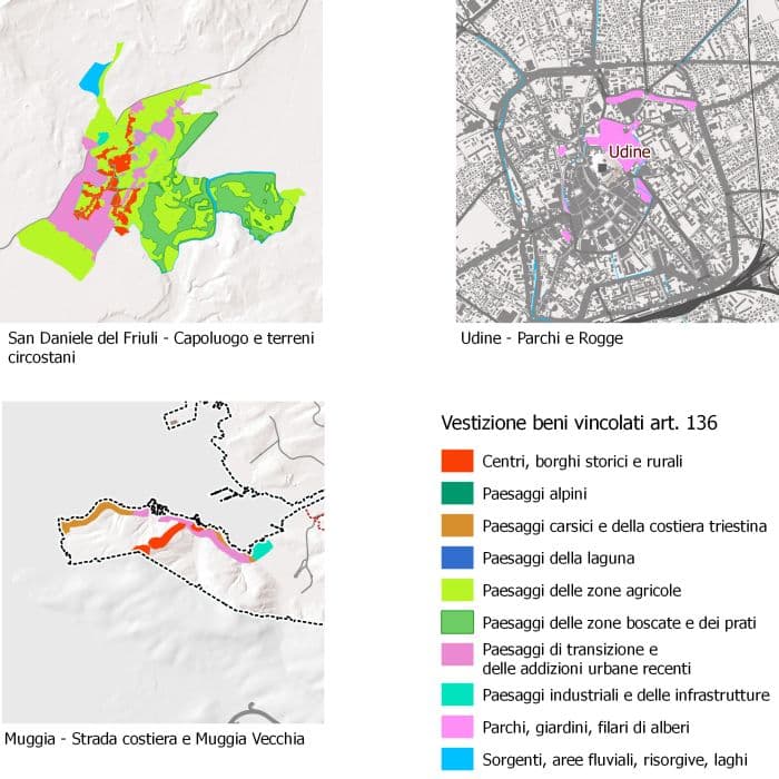
Landscape plan
Spatial data validation
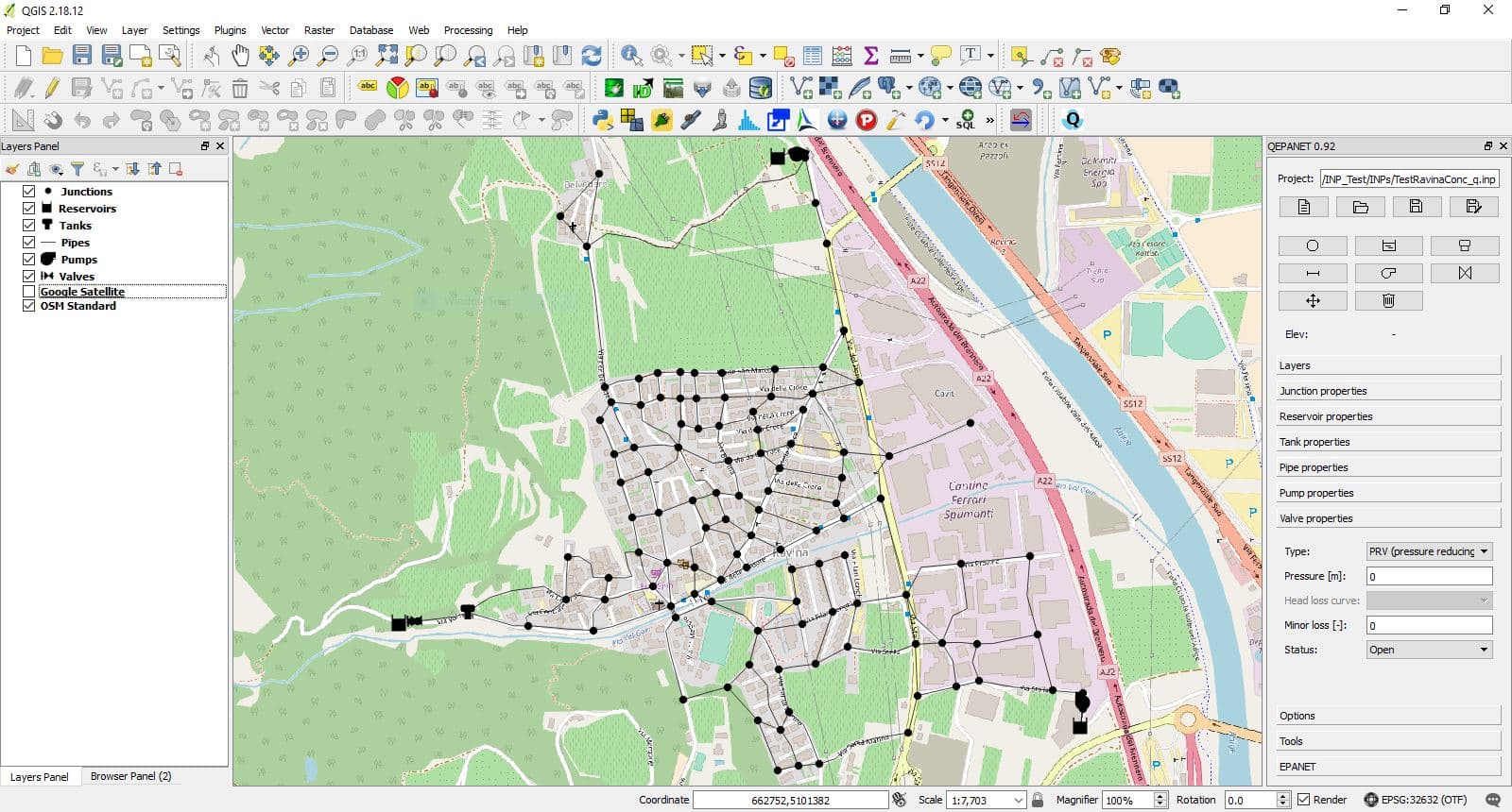
QEPANET
QGIS plugin
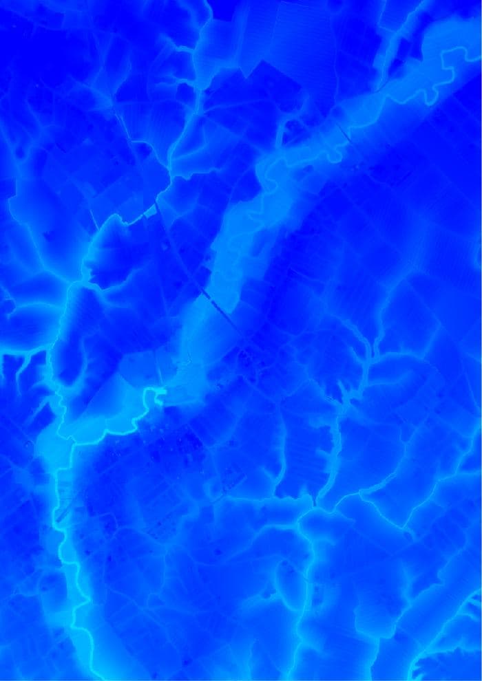
High resolution DTM
Lidar data processing
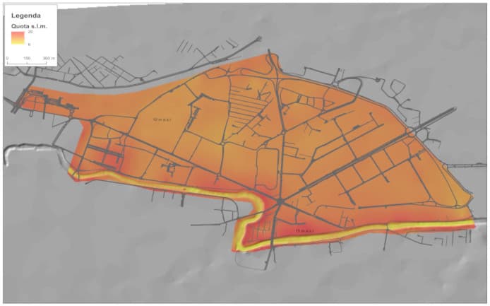
Padova Soft City
Landscape indicators
Experience
Who I've worked with, and on what.
- 2001–2026AIAQUA Srl
Chief Technology officer
- 2025–2026University of Padova for Regione Autonoma Friuli Venezia Giulia
Support to the development of the RainMap FVG web application.
- 2025–2026University of Udine
Support to the development of the HydroGeomorpholy Tools QGIS plugin.
- 2023–2024University of Udine for Regione Autonoma Friuli Venezia Giulia
Support to the development of the "Servizi ecosistemici" webapp.
- 2023–2024SWS Consulting Engineering for World Bank
Support for web development for the project "Establishing Flood Risk Management Information System (FRMIS) in Can Tho City".
- 2022–2023University of Padova for ARPAV
Support to the development of the "Secure" web application for ARPAV.
- 2021Linnaeus University
Lecturer in the Digital Humanities Research Methods course.
- 2021–2022University of Padova
Web GIS tools developed for the LIFE BEWARE EU project.
- 2020–2021University of Udine
Design and implementation of a webGIS to support shared property management in forested areas (PRI.FOR.MAN., PSR 2014-2020).
- 2019–2022University of Udine
Support to the implementation of a web application to forecast debris flow events (INADEF Project, Interreg V-A ITA AUT).
- 2018–2019Grado Municipality
Implementation of a spatial database to manage public green areas.
- 2018RafDouglas C. Tommasi
GIS support to strategic noise mapping projects (European Noise Directive 2002/49/EC).
- 2018Starter Srl - Padova
Support to the creation of the land use map for the Rugazi Municipality (Burundi).
- 2016–2019University of Trento
Implementation of QEPANET, a plugin that brings EPANET inside QGIS.
- 2016–2017Friuli Venezia Giulia Region
GIS support to the regional landscape plan (PPR).
- 2017Order of Forestry Doctors
Course: open source tools for the analysis of lidar data.
- 2017University of Padova
Implementation of an OpenJUMP plugin for hydrological analysis.
- 2017Veneto Region
Implementation of a QGIS plugin to simulate water discharge hydrographs.
- 2016Beta Studio (Padova)
Lidar data processing for forestry applications.
- 2015Consorzio di Bonifica Veneto Orientale
Lidar data processing for the production of a DTM.

About
MSc in Geographical Information Management (Cranfield University), with more than 20 years of experience working with GIS.
Based in Udine, Italy — working with universities, public bodies, and engineering firms across Italy and abroad.
Contact
Have a project in mind? Get in touch.